Topographic Mapping
The best 50 Topographic Mapping AI tools - Free & Paid
Explore 50 AI for Topographic Mapping
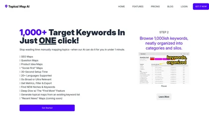
Topical Map AI automates social media and SEO keyword research, generating over 1,000 targeted keywords in seconds. It offers map creation, metrics viewing, and filtering capabilities across 20+ languages, streamlining content strategy for bloggers and marketers.
Freemium
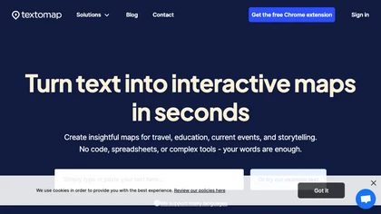
Textomap turns text, images, links, and CSVs into interactive maps instantly. It extracts coordinates, supports 28 languages, and lets users embed maps on blogs, export CSVs, or link to Google Maps, with real‑time updates across devices.
Freemium
- $8/mo

MapZot.AI provides location intelligence for site selection, revenue forecasting, and impact analysis. It integrates live traffic, GIS, and mobile data to model foot traffic and competition, generating 360° property reports with projections, benchmarks, and business activity.
Freemium
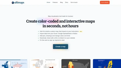
Ultimaps is a user-friendly tool for creating interactive, color-coded maps quickly. It supports data import from various sources and offers features like pins, editable legends, and tooltips, with no sign-up required for basic use.
Freemium

Mappedin converts floor plans into interactive indoor maps with AI and a web Editor, enabling configurable wayfinding, turn-by-turn navigation, indoor positioning, SDKs/APIs for integration, real-time venue management, occupancy analytics, and accessibility and safety controls.
Freemium
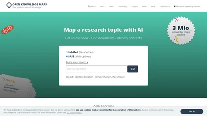
Open Knowledge Maps is an AI search engine that visualizes scientific literature across disciplines, clustering related papers to reveal topic connections and trends. It supports varied document types, offers high‑quality metadata, multilingual browsing, and open‑source integration.
Freemium
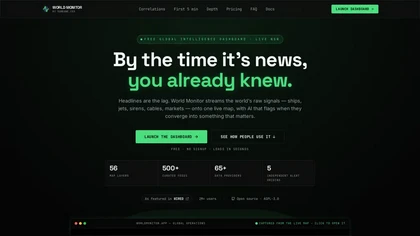
worldmonitor.app is a real-time global intelligence dashboard that overlays live signals from 500+ feeds and 65+ data providers onto an interactive map. It correlates geopolitical events, infrastructure outages, and sensor alerts with market movements for analysts, traders, and risk managers.
Freemium
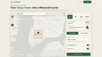
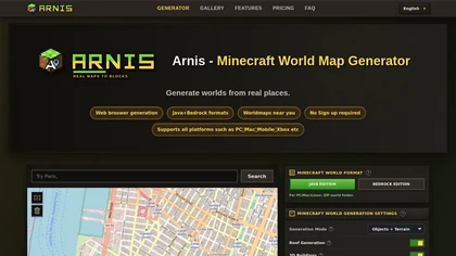
CartoVoxel is a web-based tool that transforms real-world geographic areas into playable Minecraft worlds for Java and Bedrock editions. It handles all heavy processing in the cloud via browser, letting you generate terrain, buildings, and roads without installing software.
Freemium

Picterra delivers GeoAI analytics converting satellite and aerial imagery into near-real-time land monitoring and geospatial insights, detecting land-use change, deforestation, erosion, and compliance risks, linking outputs with ESG and supply-chain data for prioritized interventions and reporting.
Freemium
Spatial.ai is an AI tool that uses web and mobile activities to provide real-time behavior segmentation for various industries through their Personalive™ system.
Contact
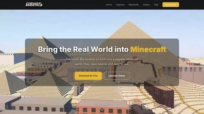
arnismc.com is a tool that turns real-world geographic data into playable Minecraft worlds, using OpenStreetMap and elevation data to recreate streets, buildings, and terrain. It supports both Java and Bedrock editions as a desktop app and online generator for builders, educators, and server operato
Free
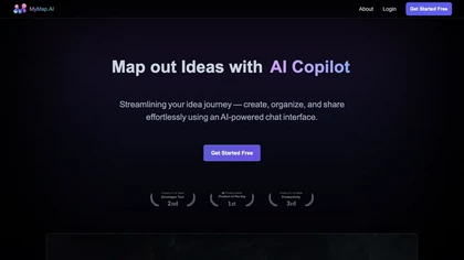
MyMap turns text prompts into mind maps, flowcharts, SWOT, timelines, and database schemas on an infinite canvas. It auto‑generates and places nodes with real‑time AI context awareness, letting users drag, connect, and reorganize for brainstorming and planning.
Freemium
- $12/mo

Rapid Editor is a web-based OpenStreetMap editor that integrates authoritative open geospatial data and machine-learning detections to import geometry, display AI-predicted roads/buildings/land use, validate edits, coordinate mapping tasks, and support bulk imports.

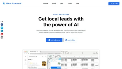
ScrapeTheMap is a Google Maps scraper that extracts business data like contacts and websites for lead generation and market research. It supports customizable searches, multi-location exports, and AI-driven outreach in JSON, CSV, or XLSX formats.
Free trial

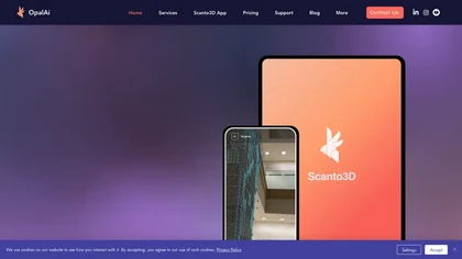
OpalAi’s Vision Language Models cut video analysis from hours to minutes for planners and safety teams. Its wildfire intelligence turns geospatial data into actionable risk insights, while ScanToBIM/ScanTo3D convert point clouds into BIM or CAD models instantly.
Subscription
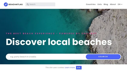
BeachAtlas lets travelers discover and plan visits to beaches worldwide, offering detailed listings, curated categories (party, dog‑friendly, LGBTQ, award‑winning), map and filter tools, and integrated Booking.com accommodation links for seamless trip planning.
Freemium

Cybertiks uses satellite imagery and AI to provide accurate soil nutrient, texture, and mineral data for agricultural fields. Users enter coordinates to view up‑to‑date weekly metrics on dashboards, integrating optical and radar sensor fusion.
Freemium
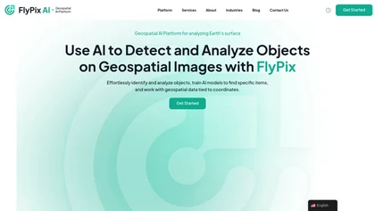
FlyPix AI automatically detects buildings, roads, vegetation, and infrastructure in satellite, aerial, and drone imagery, reducing annotation effort by up to 99.7%. It supports custom model training, multispectral data, and collaborative dashboards for construction, agriculture, and risk management.
Subscription

Concept Map AI is a free mind mapping tool that enables users to create visual concept maps quickly through AI interaction. It supports educational purposes, project planning, brainstorming, and process mapping, enhancing clarity, collaboration, and operational efficiency.
Free trial
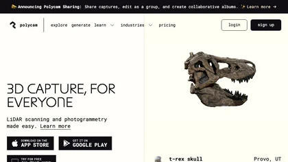
Polycam captures high‑precision 3D models of objects, interiors, and outdoor sites using photogrammetry and LiDAR. It generates floor plans, measures areas, and integrates with CAD, Unity, Unreal, Blender, Maya. Ideal for architects, engineers, product designers, and media.
Freemium
- $0.08/mo
Google Maps Extractor collects business data from Google Maps, including names, contact details, and reviews. It offers batch searching and exports data in CSV/XLS formats, aiding local lead generation and market research without coding skills.
Free trial
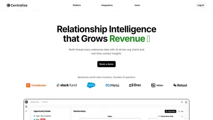
Centralize automates stakeholder mapping for sales and revenue teams, aggregating CRM, email, call, calendar, and social data into real‑time relationship maps. AI queries and proactive alerts highlight key decision makers, power shifts, and deal risks, speeding closure.
Freemium
Arnis.io is a browser-based tool that converts real-world map data from OpenStreetMap and elevation datasets into playable Minecraft worlds. It supports both Java and Bedrock editions, recreating roads, buildings, rivers, and terrain with options for roofs, interiors, and 3D geometry.
Paid

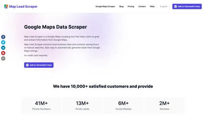
Cloud-based Google Maps scraper that extracts business listings—names, addresses, phone numbers, emails, websites, social links, ratings, reviews, and hours—with bulk keyword/location scraping, resumable parallel tasks, language/geographic filters, and CSV/JSON exports for CRM and research.
Usage Based
- $29
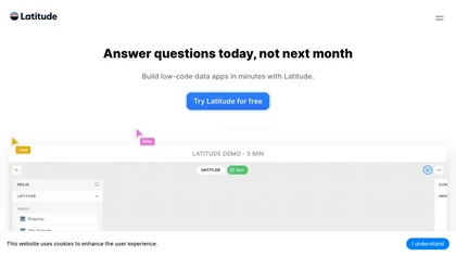
Latitude offers end‑to‑end observability for LLM deployments, recording inputs, outputs, and context. It enables manual annotations, automated error grouping, continuous evaluation, and prompt optimization with GEPA. OTEL telemetry and SDK integrations support major model providers.
Freemium
- $299/mo
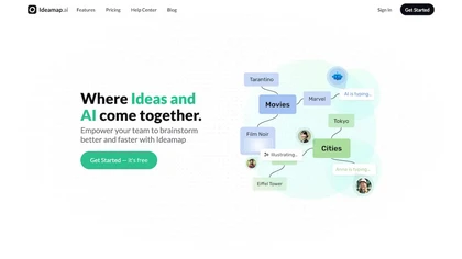
Ideamap is an AI-driven brainstorming tool that helps teams unleash their creative potential. With its cutting-edge technology, Ideamap enables real-time collaboration and innovation, making it perfect for remote teams.
Freemium
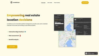
LocaleScan maps schools, hospitals, and key sites with customizable markers. Users set a location and radius to receive real‑time risk data, environmental and economic indicators, and nearby amenities, enabling informed property and investment decisions.
Freemium
Google Maps Scraper extracts local business listings from Google Maps into CSV or XLS files, collecting names, phone numbers, emails, websites, ratings, and coordinates. It supports bulk exports up to 100,000 records and allows filtering by keyword.
Freemium
- $9.9/mo

SeeTree digitizes large farms with AI, scanning millions of trees via drones, aircraft, and satellites to provide per‑tree metrics, pest‑management, yield forecasting, GIS mapping, and asset tracking, boosting yield, cutting inputs, and improving operations.
Freemium
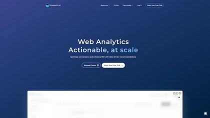
Flowpoint offers a single‑panel dashboard that aggregates key website analytics: top traffic sources, high‑performing pages, real‑time audience by geography, and detailed event timelines. It provides step‑by‑step funnel analysis and session recordings to pinpoint conversion drop‑offs.
Freemium
- $5/mo
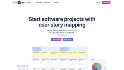
StoriesOnBoard is a user story mapping tool that enhances product management by facilitating visual story maps, managing feedback, and supporting real-time collaboration. It integrates with tools like Slack and Jira, streamlining workflows throughout the software development life cycle.
Free trial
- $16

WiseMap uses ChatGPT to expand keyword‑driven mind maps, adding nodes and refining structures via natural language. It offers AI‑generated backgrounds, unlimited edits, export options, and collaborative sharing with credit tracking for teams and educators.
Paid
- $5/mo
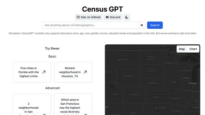
Census GPT lets users query U.S. census and FBI crime data, including demographics, income, education, and crime rates. It supports basic and advanced queries for neighborhood metrics and city rankings, aiding analysts, policymakers, real‑estate pros, and researchers.
Freemium

Pale Blue Dot combines AR spatial mapping, geo-anchored overlays and AI screenshot analysis with location-based social networking for creators, educators, runners and coffee communities, plus AI agents and archive tools to automate tasks and maintain searchable project records.
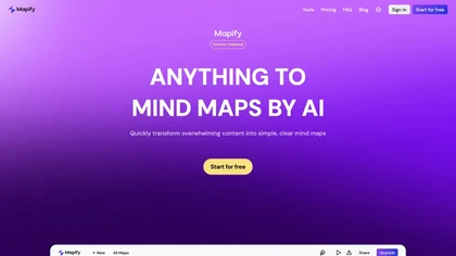
Mapify transforms videos, PDFs, podcasts, and meeting recordings into visual mind maps using GPT or Gemini. It extracts key points, offers multilingual translation, timestamp navigation, chat interaction, and exports maps to image, PDF, or Markdown for quick, structured insights.
Subscription
- $599/mo

Onri maps learning paths across many subjects, visualizing the shortest routes to skill acquisition. Its knowledge map links foundational concepts to advanced topics, lets users track progress, spot trending areas, and access curated modules on essential life skills.
Freemium
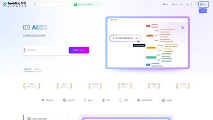
TreeMind uses AI to convert prompts, images, or documents into structured mind maps and other diagram types. It supports unlimited nodes, real‑time collaboration, multiple export formats, and cross‑platform sync for students, educators, and teams.
Freemium
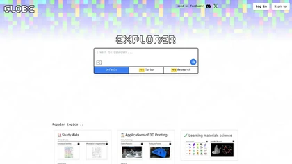
Globe Explorer is an AI-driven platform for data analysis and trend identification, offering robust topic discovery, visual data representations, insightful reports, and collaborative features to enhance research for educators, researchers, and content creators.
Freemium

PhotoExamen uses OCR and AI to analyze exam and assignment images, offering step‑by‑step solutions for multiple choice, short answer, math, and language tasks. It auto‑generates concept maps, quizzes, transcribes audio, and summarizes texts for study support.
Paid
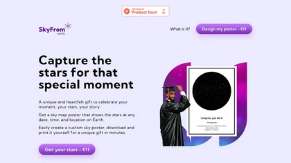
SkyFrom generates high‑resolution printable star‑maps for any date, time, and location using ESA Hipparcos data. Users choose a template, input details, add text, and download a 3956×5276 JPEG ready for print.
Paid

Marble generates spatially consistent, high‑fidelity 3D worlds from text, images, video, or panoramas. It allows precise layout control, interactive editing of geometry and materials, and export to game engines, simulation pipelines, and virtual production formats.
Freemium