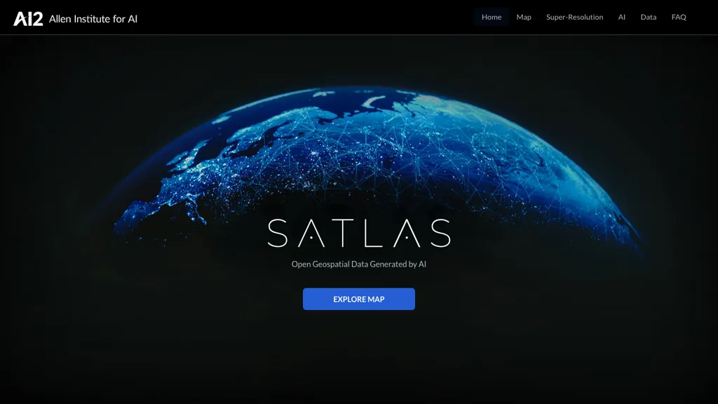
What is Satlas?
Satlas provides an interactive map interface that requires JavaScript to function. The platform offers AI‑driven super‑resolution capabilities for low‑resolution satellite images, improving detail on a global scale. Users can explore monthly geospatial datasets that track changes in marine and renewable energy infrastructure, tree cover loss, and deforestation.
Satlas incorporates state‑of‑the‑art computer vision models trained on SatlasPretrain, a 30 TB remote‑sensing dataset with 300 million labeled samples. All generated geospatial data and the accompanying AI models are available for public download for offline analysis.
Satlas user reviews
Would you recommend Satlas?
Recommend this tool?
Satlas's key features
-
Super-Resolution satellite imagery
-
Global high-resolution output
-
30 TB training dataset
-
Public AI-generated geospatial datasets
-
Open AI models and labels
-
Advanced computer vision architectures
-
Time-lapse development visualization
Satlas use cases
-
Monitor the growth of offshore wind farms and other marine renewable infrastructure, comparing monthly satellite releases to assess compliance with environmental regulations without needing specialized GIS software
-
Track tree cover loss and deforestation trends in critical biodiversity hotspots, generating high‑resolution change maps that NGOs can download for reporting and field verification
-
Support coastal resilience planning by overlaying AI‑enhanced satellite imagery of land‑use changes with projected sea‑level rise scenarios, enabling planners to identify vulnerable zones for targeted adaptation measures
Who is it for?
-
Geospatial analysts
-
Remote sensing researchers
-
Cartographic cartographers
-
Spatial planners
-
Data scientists