What is Arnismc?
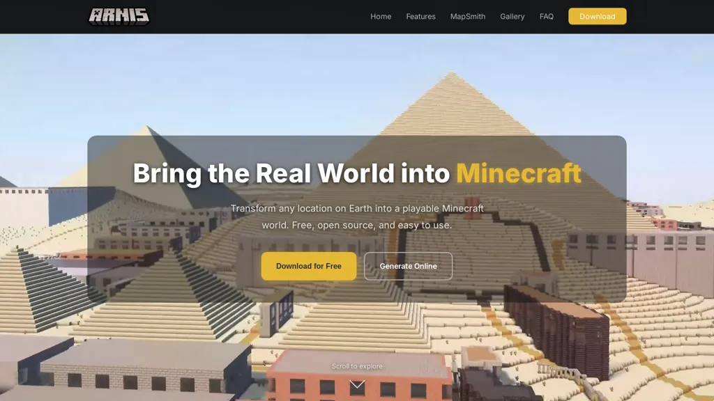
Arnis is an open-source Minecraft world generator that converts real-world geographic data into playable Java and Bedrock edition maps.It uses OpenStreetMap building footprints, roads and land-use data via the Overpass API plus elevation datasets to recreate streets, buildings, landmarks and terrain.
Available as a desktop app (Windows, macOS, Linux) and an online Mapsmith generator for browser and mobile, arnis outputs Java save folders or.mcworld files for Bedrock and Education editions.The tool provides an interactive rectangle selection, customizable generation settings, and support for large areas with generation time dependent on area size, map density and hardware.
arnis is suited for builders, server operators, educators and players who need real-world locations for geography, urban planning or creative projects.Source code, releases and documentation are hosted on the official GitHub repository, and generated worlds reflect the coverage and detail of community-contributed OSM data.
Follow the official GitHub releases for downloads and additional usage guidance.
Arnismc user reviews
Based on 1 review, 100.0% of users recommend Arnismc, rated highly for quality results.
Liked for
Would you recommend Arnismc?
Arnismc's key features
-
Converts real-world geographic data into playable Minecraft Java and Bedrock maps
-
Uses OpenStreetMap building footprints, roads and land-use via the Overpass API plus elevation and terrain datasets to recreate streets, buildings and landmarks
-
Available as a desktop app (Windows, macOS, Linux) and an online Mapsmith generator for browser and mobile
-
Outputs Java save folders and .mcworld files for Bedrock and Education editions
-
Interactive rectangle selection, customizable generation settings, and support for large-area generation (time depends on area size, map density and hardware)
Arnismc use cases
-
Create accurate, playable replicas of real-world cities and neighborhoods with arnis by importing OpenStreetMap building footprints and elevation data, customizing building heights and terrain settings, and exporting .mcworld files for Minecraft Java or Bedrock servers to host realistic multiplayer maps
-
Develop interactive geography and urban-planning lessons for students using arnis's selection tools and generators to convert local GIS datasets into scaled Minecraft worlds with streets, parks and terrain, enabling hands-on exploration of land use, infrastructure and environmental impact without coding
-
Prototype architectural or urban design concepts by importing building footprints and terrain through arnis, tweaking materials and scale in the desktop/web generator, and exporting playable maps to test circulation, sightlines and public spaces in Minecraft before real-world implementation
Who is it for?
-
Builders
-
Server operators
-
Educators
-
Urban planners
-
Students