What is Polycam?
Polycam
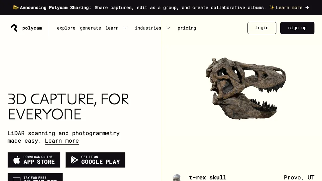
Polycam enables cross‑platform 3D capture and drone mapping for professionals who need accurate spatial data. It uses spatial AI and photogrammetry, including LiDAR support, to generate high‑precision 3D models of objects, interiors, and outdoor sites.
Built‑in tools produce customizable 2‑D floor plans, calculate areas, and record measurements in real time. The platform supports instant sharing, collaboration, and integration with CAD, Unity, Unreal, Blender, Maya, and other design pipelines. Users in architecture, engineering, construction, product design, forensics, and media can streamline documentation, measurement, and virtual walkthrough creation without specialized hardware.
Polycam pricing Freemium
Verify on the official pricing page.
View plansPolycam user reviews
Based on 16 reviews, 62.5% of users recommend Polycam, rated highly for quality results.
Liked for
Disliked for
Would you recommend Polycam?
Main competitors of Polycam
Here are some of the major competitors comparisons vs. Polycam.
Polycam's key features
-
Cross-platform 3D scanning
-
AI-powered photogrammetry
-
LiDAR-based measurement capture
-
Instant 2D floor plan creation
-
Drone footage to 3D models
-
Collaborative 3D sharing
-
Spatial AI object capture
Polycam use cases
-
Generate accurate floor plans and area measurements for interior renovation projects directly from smartphone photos, eliminating manual drafting and speeding up the design approval process.
-
Seamlessly import high‑resolution 3D scans of a new product prototype into Blender and Unreal Engine, allowing designers to iterate on visual effects and virtual reality experiences without re‑scanning.
-
Use drone‑captured LiDAR data in Polycam to create a detailed outdoor site model for environmental impact assessments, automatically producing a GIS‑compatible mesh that can be exported to AutoCAD for engineering analysis.
Who is it for?
-
3d scanners
-
Lidar technicians
-
Photogrammetry engineers
-
Content creators
-
Product designers