Cybertiks website

Visit Cybertiks's Site

What is Cybertiks?

Cybertiks, Field Monitoring AI ToolCybertiks offers a robust solution for monitoring agriculture fields through satellite imagery, providing valuable insights such as nutrient levels and soil texture.Specializing in harnessing the power of satellite imagery, Cybertiks uses advanced AI models to analyze fields worldwide and deliver accurate metrics remotely.

With key expertise in remote sensing and industrial requirements, Cybertiks integrates precise AI models trained on thousands of fields to ensure 80% accuracy in the analysis.Users can easily sign up, input field coordinates, and receive regular analysis updates every 7 days, along with historical insights and field status monitoring.

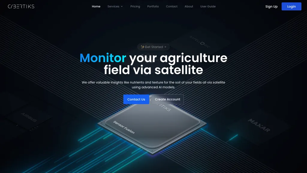
Behind the scenes, Cybertiks employs sensor fusion to integrate multiple data sources and provide clients with a comprehensive strategic vision, all done through convenient data presentation methods.From mineral element detection to classification and quantification, Cybertiks' AI tool, called QSIS, utilizes thermodynamic information and quantum-enabled artificial intelligence to identify, classify, and measure natural resources and minerals.
In addition to its field monitoring capabilities, Cybertiks also offers software development services for custom solutions, backed by years of experience in delivering innovative projects with a strong focus on AI accuracy and client-tailored solutions.

🔥 Promote this tool

⭐ Cybertiks Core features

  • ✔️ Field monitoring through satellite imagery
  • ✔️ Utilizes advanced AI models for analysis
  • ✔️ Provides accurate metrics remotely
  • ✔️ Integrates precise AI models trained on thousands of fields
  • ✔️ Utilizes sensor fusion to integrate multiple data sources

⚙️ Cybertiks use case ideas

  1. Monitor agriculture fields globally using Cybertiks' AI tool, QSIS, to analyze nutrient levels, soil texture, and provide accurate insights remotely through satellite imagery, ensuring 80% accuracy in the analysis.
  2. Receive regular updates and historical insights on field status every 7 days with Cybertiks' field monitoring AI tool, integrating sensor fusion to deliver comprehensive strategic vision based on multiple data sources and convenient data presentation methods.
  3. Utilize Cybertiks' AI tool for mineral element detection, classification, and quantification, leveraging thermodynamic information and quantum-enabled AI to identify, measure, and classify natural resources and minerals with precision.

🙋‍♂️ Users of this tool

Agricultural consultants
Farmers
Research scientists
Government agricultural agencies
Share it:
How do you rate Cybertiks?

0 0 ratings

Breakdown 👇

Cybertiks is not rated yet, be the first to rate it
🔥

Create your account, save tools & get personal recommendations

Receive a weekly digest of our handpicked top tools.
Unsubscribe anytime

🔎 Cybertiks Alternatives

⚖️ Cybertiks Comparison

❓ Cybertiks FAQ

CyberTiks is an AI tool utilizing satellite imagery to monitor fields, accurately (80%) detecting nutrient levels, soil texture, and mineral elements. It provides consistent updates and historical data, combining multiple sources for in-depth analysis.
Getting started with Cybertiks is easy! Simply visit the official website and sign up for an account to start.
Cybertiks uses a Subscription pricing model
The typical users of Cybertiks include:
  • Agricultural consultants
  • Farmers
  • Research scientists
  • Government agricultural agencies
Follow Cybertiks on social media to stay updated with the latest news and features: