Terrain Overlay Mapping
The best 50 Terrain Overlay Mapping AI tools - Free & Paid
Explore 50 AI for Terrain Overlay Mapping
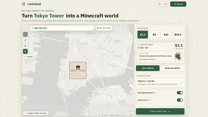
CartoVoxel is a web-based tool that transforms real-world geographic areas into playable Minecraft worlds for Java and Bedrock editions. It handles all heavy processing in the cloud via browser, letting you generate terrain, buildings, and roads without installing software.
Freemium

Mappedin converts floor plans into interactive indoor maps with AI and a web Editor, enabling configurable wayfinding, turn-by-turn navigation, indoor positioning, SDKs/APIs for integration, real-time venue management, occupancy analytics, and accessibility and safety controls.
Freemium

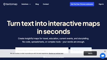
Textomap turns text, images, links, and CSVs into interactive maps instantly. It extracts coordinates, supports 28 languages, and lets users embed maps on blogs, export CSVs, or link to Google Maps, with real‑time updates across devices.
Freemium
- $8/mo

AtlasNavi is an AI navigation app that uses a smartphone camera to analyze road conditions at 25 Hz for more accurate routing. It records trips, offers live streaming, group tracking, walkie‑talk, rewards via 3‑D vehicle NFTs, and maintenance alerts.
Freemium
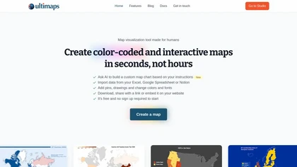
Ultimaps is a user-friendly tool for creating interactive, color-coded maps quickly. It supports data import from various sources and offers features like pins, editable legends, and tooltips, with no sign-up required for basic use.
Freemium
Sprite Fusion is a free and easy-to-use online 2D game design editor that allows you to create beautiful tilemaps right in your browser. With its fast integration with game engines, you can quickly design levels with a focus on art direction and simplicity.
Free
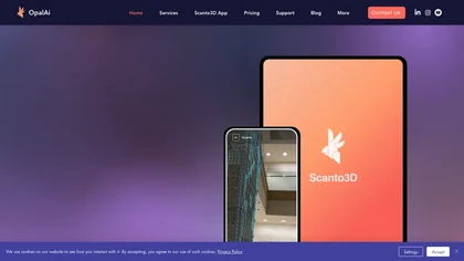
OpalAi’s Vision Language Models cut video analysis from hours to minutes for planners and safety teams. Its wildfire intelligence turns geospatial data into actionable risk insights, while ScanToBIM/ScanTo3D convert point clouds into BIM or CAD models instantly.
Subscription
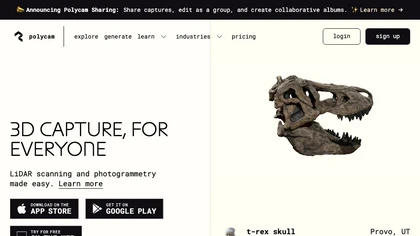
Polycam captures high‑precision 3D models of objects, interiors, and outdoor sites using photogrammetry and LiDAR. It generates floor plans, measures areas, and integrates with CAD, Unity, Unreal, Blender, Maya. Ideal for architects, engineers, product designers, and media.
Freemium
- $0.08/mo

LightLayer provides scalable, richly annotated egocentric datasets—synchronized RGB, audio, IMU, and depth—via distributed capture coordination, automated collection workflows, and streamlined annotation pipelines to produce delivery-ready data for embodied AI and robotic perception training.
Freemium
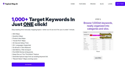
Topical Map AI automates social media and SEO keyword research, generating over 1,000 targeted keywords in seconds. It offers map creation, metrics viewing, and filtering capabilities across 20+ languages, streamlining content strategy for bloggers and marketers.
Freemium
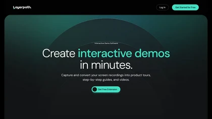
Layerpath converts a single screen recording into interactive demos, step‑by‑step guides, or videos, automatically capturing clicks and UI changes. It lets you edit steps, add multilingual narration, embed forms, apply branding, view analytics, and share via embed, link, or export.
Freemium
- $129/mo
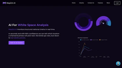
MapZot.AI provides location intelligence for site selection, revenue forecasting, and impact analysis. It integrates live traffic, GIS, and mobile data to model foot traffic and competition, generating 360° property reports with projections, benchmarks, and business activity.
Freemium

Clipdrop is an AI image editor that adjusts aspect ratios, extends boundaries, and adds background space while preserving detail. It offers background removal, object cleanup, relighting, universal resizing, upscale, and text‑to‑image generation for photographers and designers.
Freemium
- $15/mo

tensor.art is an AI art platform that enforces real-time human verification and connection reviews (Cloudflare-backed) to block automated access, requiring JavaScript-enabled browsers and offering verification status and access-control integrations for developer workflows and APIs.
Freemium
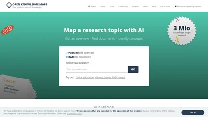
Open Knowledge Maps is an AI search engine that visualizes scientific literature across disciplines, clustering related papers to reveal topic connections and trends. It supports varied document types, offers high‑quality metadata, multilingual browsing, and open‑source integration.
Freemium
UnderlayX AI is a free image editor offering over 50 tools for background removal, image customization, and advanced element placement. Its intuitive interface allows users to create high-quality visuals suitable for content creators, marketers, and photographers.
Free
BeachAtlas lets travelers discover and plan visits to beaches worldwide, offering detailed listings, curated categories (party, dog‑friendly, LGBTQ, award‑winning), map and filter tools, and integrated Booking.com accommodation links for seamless trip planning.
Freemium


Routerra optimizes delivery and fleet routes with AI-assisted bulk stop import, traffic-aware routing, stop constraints (time windows, priorities), vehicle and route restrictions, manual adjustments, large-stop handling, exportable plans and direct navigation for drivers and dispatch.
Free trial
Provides API access to pretrained image generation models for text‑to‑image, image‑to‑image, and inpainting, with real‑time editing. Supports single‑call Dreambooth/LoRA training without local GPU, plus voice cloning, text‑to‑3D, interior design, and video creation.
Paid
- $27/mo
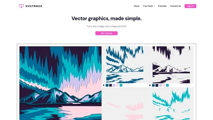
SvgTrace converts raster images to multi‑layer SVGs with AI, extracting each color into separate layers for high‑quality vector graphics. Its upscaling improves low‑res images, and a built‑in editor lets users edit layers. Drag‑and‑drop uploads enable quick use.
Subscription
- $12.99/mo

Image Pipeline delivers AI image creation and editing using Stable Diffusion, Flux, and custom checkpoints. It supports LoRA, embeddings, adapters, ControlNet for inpainting, and Face Lock/Quick Swap for facial editing, all via a REST API.
Paid
- $3
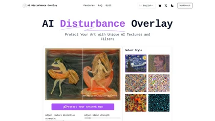
AI Disturbance Overlay uses adversarial perturbations to add invisible pixel changes that disrupt AI image recognition and style extraction. It protects artwork against generative models, preserving artists’ creative ownership in the browser.
Freemium
- $39/mo
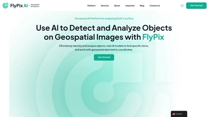
FlyPix AI automatically detects buildings, roads, vegetation, and infrastructure in satellite, aerial, and drone imagery, reducing annotation effort by up to 99.7%. It supports custom model training, multispectral data, and collaborative dashboards for construction, agriculture, and risk management.
Subscription

Remodel AI Free turns photos or sketches into realistic interior and exterior designs in seconds, offering virtual staging, paint palettes, landscaping plans, and renderings for rooms and facades. It serves homeowners, designers, architects, and agents on all devices.
Paid
- $29/mo
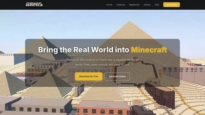
arnismc.com is a tool that turns real-world geographic data into playable Minecraft worlds, using OpenStreetMap and elevation data to recreate streets, buildings, and terrain. It supports both Java and Bedrock editions as a desktop app and online generator for builders, educators, and server operato
Free
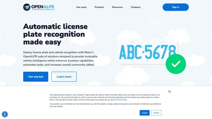
OpenALPR automates license‑plate recognition from live video and still images, delivering real‑time plate numbers, vehicle make, model, color, and direction for law enforcement, parking, property management, and security across 70 countries.
Subscription
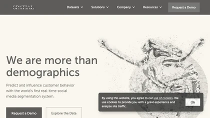
Spatial.ai is an AI tool that uses web and mobile activities to provide real-time behavior segmentation for various industries through their Personalive™ system.
Contact

ArchitectGPT converts photos, CAD files, and text prompts into photorealistic interior, exterior, and landscape visualizations, preserving layout. It supports CAD-to-visual conversion, floorplan rendering, elevation enhancement, virtual staging, and cinematic walkthroughs for architects, designers,
Subscription
- $25/mo

iris roads automates road inspections with AI cameras, automatically redacts privacy, identifies defects such as potholes and cracks, delivers condition indices and repair priorities to public‑works dashboards, and integrates with CityWorks and Cartegraph for streamlined workflow and cost savings.
Freemium

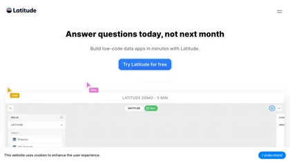
Latitude offers end‑to‑end observability for LLM deployments, recording inputs, outputs, and context. It enables manual annotations, automated error grouping, continuous evaluation, and prompt optimization with GEPA. OTEL telemetry and SDK integrations support major model providers.
Freemium
- $299/mo
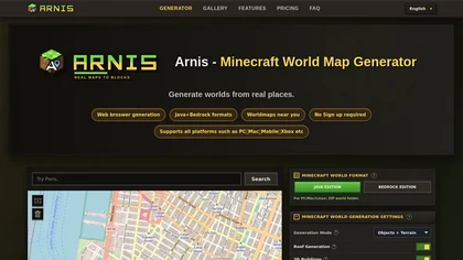
Arnis.io is a browser-based tool that converts real-world map data from OpenStreetMap and elevation datasets into playable Minecraft worlds. It supports both Java and Bedrock editions, recreating roads, buildings, rivers, and terrain with options for roofs, interiors, and 3D geometry.
Paid

AI Garden Design by Ogrovision generates multiple backyard and landscape visualizations from user photos: select an area, describe layout, then receive design images, plant identification with care recommendations, and exportable implementation-ready planting plans.
Free
- $2.99
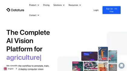
Datature unifies data labeling, model training, and deployment in one workflow. AI‑assisted annotation cuts labeling time up to tenfold. It supports classification, detection, segmentation, keypoint tasks, offers drag‑and‑drop training, hyperparameter tuning, visual evaluation, and edge/cloud deploy
Free

Cybertiks uses satellite imagery and AI to provide accurate soil nutrient, texture, and mineral data for agricultural fields. Users enter coordinates to view up‑to‑date weekly metrics on dashboards, integrating optical and radar sensor fusion.
Freemium
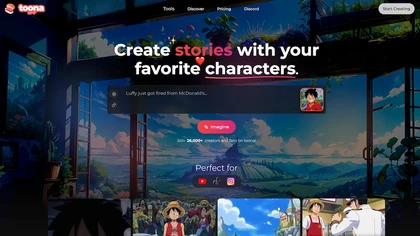
toona converts single images into anime videos, manga color pages, and 4K upscaled clips. It offers frame interpolation up to 240fps, background removal, and motion painting for backgrounds and hair. Web interface enables quick, high‑quality output.
Freemium

Palette Immo generates photorealistic interior renders from photos, sketches, or empty rooms. Users select styles, adjust colors, furniture, sky, or remove clutter, batch‑process multiple images, and collaborate via team accounts for real‑estate and design workflows.
Freemium
- $0.3
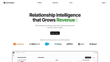
Centralize automates stakeholder mapping for sales and revenue teams, aggregating CRM, email, call, calendar, and social data into real‑time relationship maps. AI queries and proactive alerts highlight key decision makers, power shifts, and deal risks, speeding closure.
Freemium