Picterra website

Visit Picterra's Site

What is Picterra?

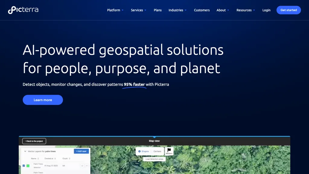
Picterra offers AI-powered geospatial solutions for detecting objects, monitoring changes, and discovering patterns 95% faster. With a user-friendly platform, Picterra enables users to train models for various applications such as mapping boundaries, monitoring infestations, and analyzing satellite imagery. The tool allows for quick and efficient data analysis, helping organizations save time and resources. Through seamless collaboration and customization features, Picterra empowers users to integrate diverse expertise, scale their performance, and uncover new opportunities in geospatial analysis. By revolutionizing geospatial application development and deployment, Picterra aims to address the challenges of traditional workflows and drive innovation across industries.

🔥 Promote this tool

⭐ Picterra Core features

  • ✔️ Object detection
  • ✔️ Change monitoring
  • ✔️ Pattern discovery
  • ✔️ Model training for mapping boundaries
  • ✔️ Efficient data analysis

⚙️ Picterra use case ideas

  1. Efficiently train machine learning models on Picterra to detect and monitor objects in satellite imagery for agricultural purposes, allowing farmers to optimize crop management practices and detect early signs of infestations or crop diseases.
  2. Utilize Picterra's AI-powered platform to analyze changes in urban development by mapping boundaries and monitoring construction progress, enabling city planners and real estate developers to make informed decisions and streamline urban planning processes.
  3. Collaborate with remote teams on Picterra to develop customized geospatial solutions for environmental monitoring, leveraging diverse expertise to track deforestation, analyze wildlife habitats, and protect biodiversity in various regions around the world.

🙋‍♂️ Users of this tool

Gis analysts
Remote sensing specialists
Satellite image analysts
Geospatial data scientists
Environmental consultants
Urban planners
Infrastructure project managers
Share it:
How do you rate Picterra?

0 0 ratings

Breakdown 👇

Picterra is not rated yet, be the first to rate it
🔥

Create your account, save tools & get personal recommendations

Receive a weekly digest of our handpicked top tools.
Unsubscribe anytime

🔎 Picterra Alternatives

⚖️ Picterra Comparison

❓ Picterra FAQ

Picterra is an AI geospatial tool for swift object detection, change monitoring, and pattern discovery in satellite images. It offers an intuitive platform for model training across applications like mapping and image analysis, boosting efficiency in data analysis and reducing time consumption.
Getting started with Picterra is easy! Simply visit the official website and sign up for an account to start.
Picterra uses a Free trial pricing model , meaning there is a free tier along with other options.
The typical users of Picterra include:
  • Gis analysts
  • Remote sensing specialists
  • Satellite image analysts
  • Geospatial data scientists
  • Environmental consultants
  • Urban planners
  • Infrastructure project managers
Follow Picterra on social media to stay updated with the latest news and features:
Picterra enjoys a popularity rating of 4.79/10 on our platform as of today compared to other tools. It receives an estimated average of 28.7K visits per month, indicating interest and engagement among users.