Compare Cybertiks vs Satlas ⚖️
Cybertiks has a rating of 0 based on 0 of ratings and Satlas has a rating of 5 based on 0 of ratings. Compare the similarities and differences between software options with real user reviews focused on features, ease of use, customer service, and value for money.
📝 Cybertiks Description
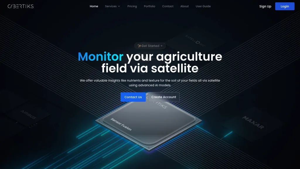
CyberTiks is an AI tool utilizing satellite imagery to monitor fields, accurately (80%) detecting nutrient levels, soil texture, and mineral elements. It provides consistent updates and historical data, combining multiple sources for in-depth analysis.
📝 Satlas Description
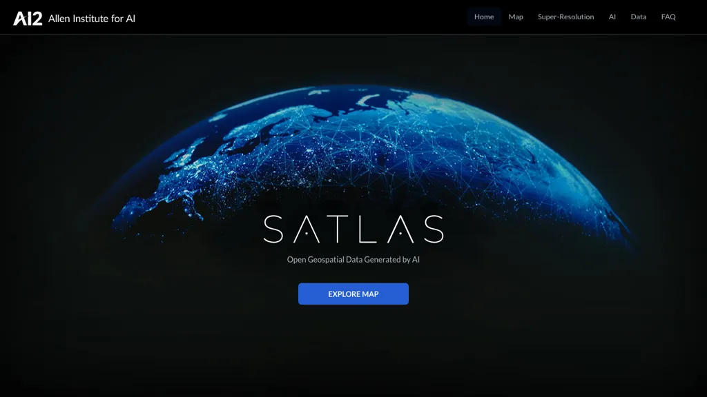
SATLAS is an AI tool developed by the Allen Institutd that enables users to explore and analyze geospatial data with super-resolution imagery. The tool uses state-of-the-art computer vision algorithms to enhance low resolution satellite imagery, producing high resolution images at a global scale.
Cybertiks Key Features
✨ Field monitoring through satellite imagery
✨ Utilizes advanced AI models for analysis
✨ Provides accurate metrics remotely
✨ Integrates precise AI models trained on thousands of fields
✨ Utilizes sensor fusion to integrate multiple data sources
✨ Utilizes advanced AI models for analysis
✨ Provides accurate metrics remotely
✨ Integrates precise AI models trained on thousands of fields
✨ Utilizes sensor fusion to integrate multiple data sources
Satlas Key Features
✨ Super-resolution
✨ AI Models
✨ Geospatial Data
✨ Offshore Wind Farms
✨ Computer Vision
✨ AI Models
✨ Geospatial Data
✨ Offshore Wind Farms
✨ Computer Vision

