
Compare Picterra vs Satlas ⚖️
Picterra has a rating of 0 based on 0 of ratings and Satlas has a rating of 5 based on 0 of ratings. Compare the similarities and differences between software options with real user reviews focused on features, ease of use, customer service, and value for money.
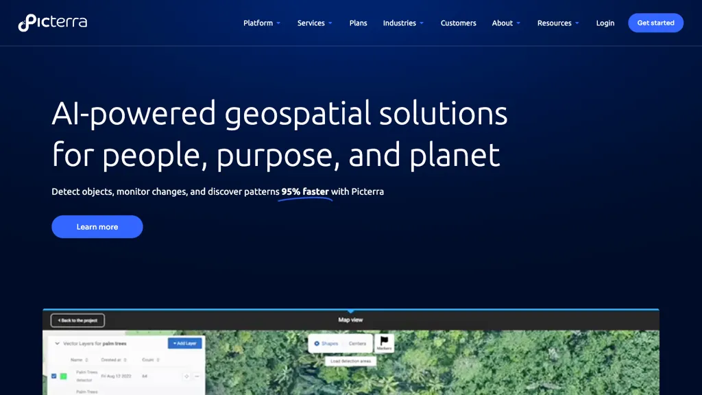
📝 Picterra Description
Picterra is an AI geospatial tool for swift object detection, change monitoring, and pattern discovery in satellite images. It offers an intuitive platform for model training across applications like mapping and image analysis, boosting efficiency in data analysis and reducing time consumption.
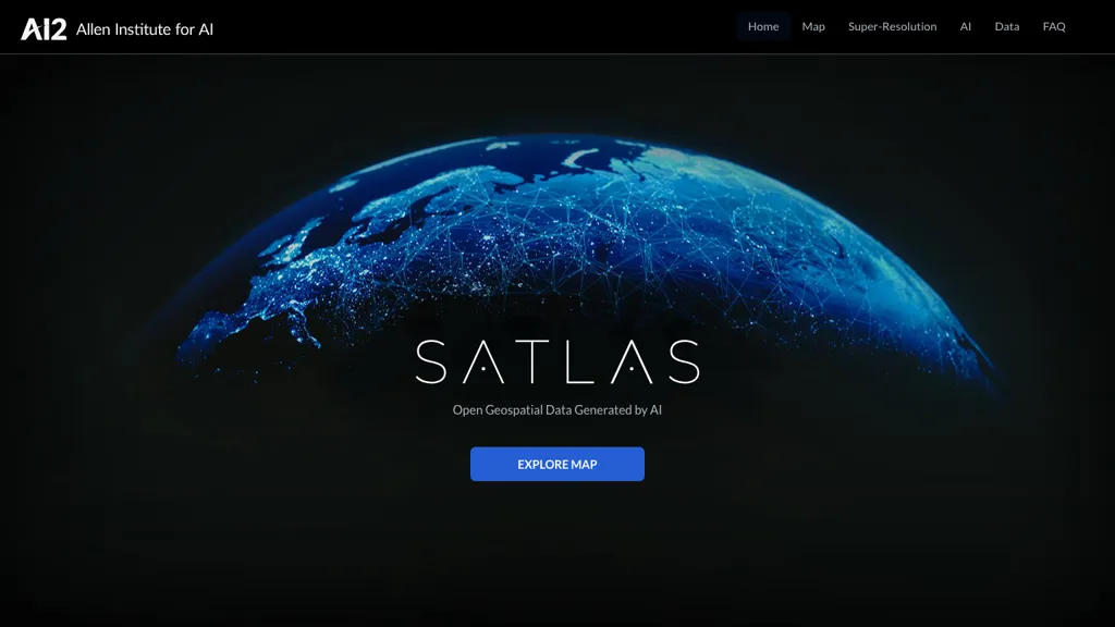
📝 Satlas Description
SATLAS is an AI tool developed by the Allen Institutd that enables users to explore and analyze geospatial data with super-resolution imagery. The tool uses state-of-the-art computer vision algorithms to enhance low resolution satellite imagery, producing high resolution images at a global scale.
Picterra Key Features
✨ Object detection
✨ Change monitoring
✨ Pattern discovery
✨ Model training for mapping boundaries
✨ Efficient data analysis
✨ Change monitoring
✨ Pattern discovery
✨ Model training for mapping boundaries
✨ Efficient data analysis
Satlas Key Features
✨ Super-resolution
✨ AI Models
✨ Geospatial Data
✨ Offshore Wind Farms
✨ Computer Vision
✨ AI Models
✨ Geospatial Data
✨ Offshore Wind Farms
✨ Computer Vision