Geo Anchored Ar Overlays
The best 12 Geo Anchored Ar Overlays AI tools - Free & Paid
Explore 12 AI for Geo Anchored Ar Overlays

DreamzAR transforms a yard photo into a custom landscape in seconds. Apply 38+ garden styles, drag 2,000+ plant options, view 3D AR walkthrough, and refine with chat‑based AI. Available on web, iOS, Android.
Subscription
- $16.6/mo

Aragon.ai is an AI-powered headshots generator that transforms selfies into professional, studio-quality headshots in minutes. It features curated outfits, customizable backgrounds, and advanced editing options for versatile personal and professional use.
Paid
- $49

AtlasNavi is an AI navigation app that uses a smartphone camera to analyze road conditions at 25 Hz for more accurate routing. It records trips, offers live streaming, group tracking, walkie‑talk, rewards via 3‑D vehicle NFTs, and maintenance alerts.
Freemium
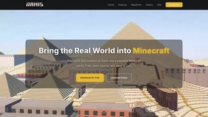
arnismc.com is a tool that turns real-world geographic data into playable Minecraft worlds, using OpenStreetMap and elevation data to recreate streets, buildings, and terrain. It supports both Java and Bedrock editions as a desktop app and online generator for builders, educators, and server operato
Free
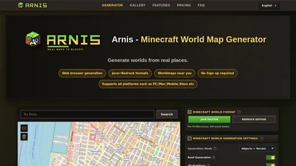
Arnis.io is a browser-based tool that converts real-world map data from OpenStreetMap and elevation datasets into playable Minecraft worlds. It supports both Java and Bedrock editions, recreating roads, buildings, rivers, and terrain with options for roofs, interiors, and 3D geometry.
Paid

Pale Blue Dot combines AR spatial mapping, geo-anchored overlays and AI screenshot analysis with location-based social networking for creators, educators, runners and coffee communities, plus AI agents and archive tools to automate tasks and maintain searchable project records.
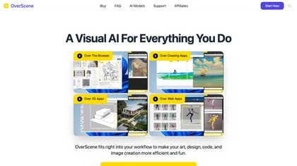
OverScene is a lightweight desktop overlay that injects generative AI into any Windows app. With a floating frame, users can trigger image‑to‑image, text‑to‑image, 3‑D rendering, code generation, and summarization directly from sketches or design files, all locally and privately.
Paid
- $19.99
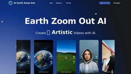
Earth Zoom Out AI is a free tool that transforms images into cinematic videos with realistic zoom effects. It offers quick processing, easy-to-use features, and a free tier for testing, ideal for social media and marketing.
Freemium

ArchRender is an AI rendering platform that generates photorealistic architectural visualizations from imported 3D models in seconds. It uses prompt-driven controls and environment tools to create export-ready scenes for client presentations and project iterations.
Free trial
- $39/mo
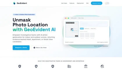
Geoevident is an AI geolocation intelligence platform that performs forensic photo and video geolocation for indoor and outdoor scenes, returning ranked location candidates with visual matches and mapped coordinates plus exportable case reports and audit logs.
Subscription