
Compare Cybertiks vs Picterra ⚖️
Cybertiks has a rating of 0 based on 0 of ratings and Picterra has a rating of 0 based on 0 of ratings. Compare the similarities and differences between software options with real user reviews focused on features, ease of use, customer service, and value for money.
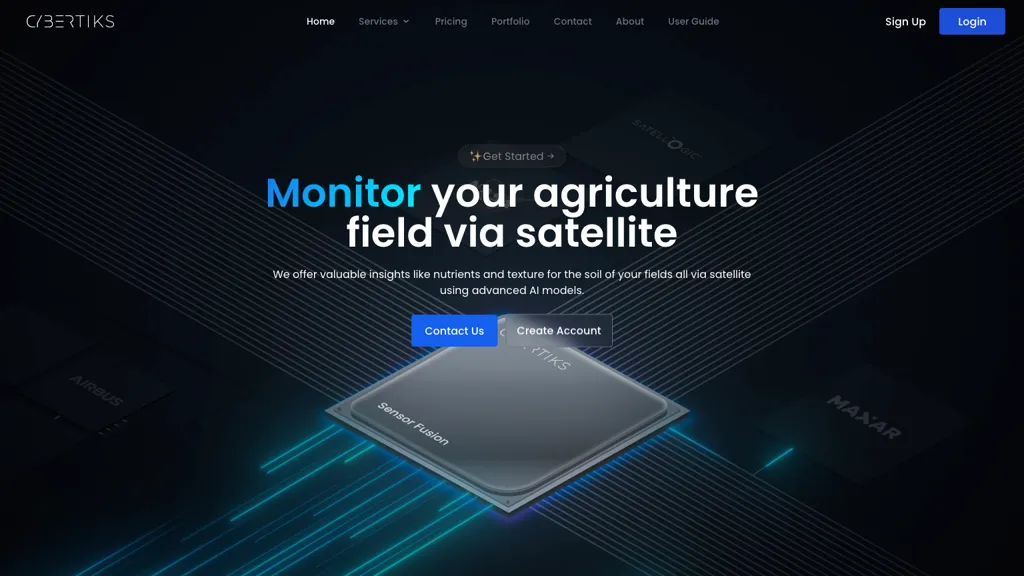
📝 Cybertiks Description
CyberTiks is an AI tool utilizing satellite imagery to monitor fields, accurately (80%) detecting nutrient levels, soil texture, and mineral elements. It provides consistent updates and historical data, combining multiple sources for in-depth analysis.
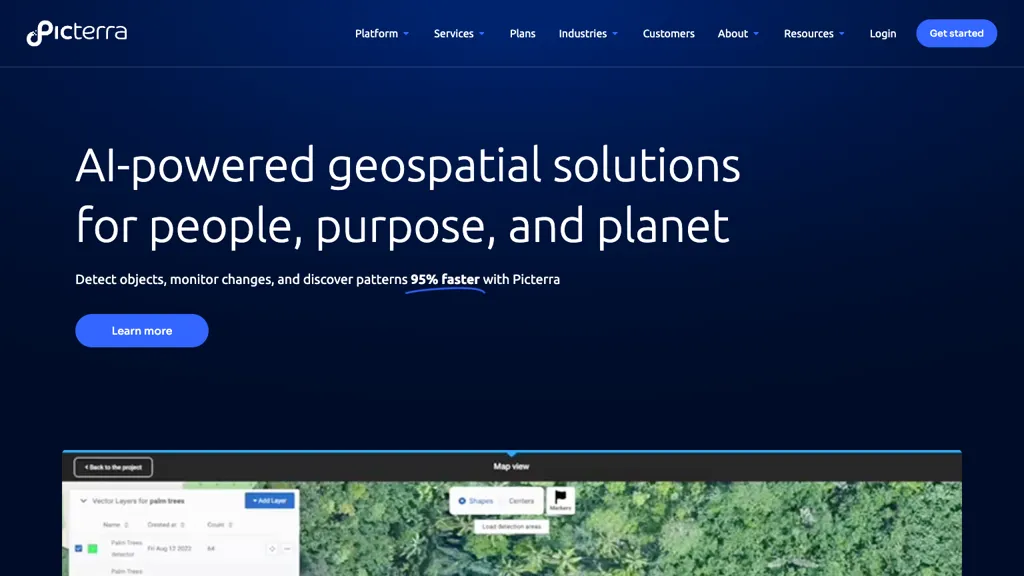
📝 Picterra Description
Picterra is an AI geospatial tool for swift object detection, change monitoring, and pattern discovery in satellite images. It offers an intuitive platform for model training across applications like mapping and image analysis, boosting efficiency in data analysis and reducing time consumption.
Cybertiks Key Features
✨ Field monitoring through satellite imagery
✨ Utilizes advanced AI models for analysis
✨ Provides accurate metrics remotely
✨ Integrates precise AI models trained on thousands of fields
✨ Utilizes sensor fusion to integrate multiple data sources
✨ Utilizes advanced AI models for analysis
✨ Provides accurate metrics remotely
✨ Integrates precise AI models trained on thousands of fields
✨ Utilizes sensor fusion to integrate multiple data sources
Picterra Key Features
✨ Object detection
✨ Change monitoring
✨ Pattern discovery
✨ Model training for mapping boundaries
✨ Efficient data analysis
✨ Change monitoring
✨ Pattern discovery
✨ Model training for mapping boundaries
✨ Efficient data analysis