Satellite Soil Nutrient Analysis
The best 4 Satellite Soil Nutrient Analysis AI tools - Free & Paid
Explore 4 AI for Satellite Soil Nutrient Analysis

Cybertiks uses satellite imagery and AI to provide accurate soil nutrient, texture, and mineral data for agricultural fields. Users enter coordinates to view up‑to‑date weekly metrics on dashboards, integrating optical and radar sensor fusion.
Freemium

Picterra delivers GeoAI analytics converting satellite and aerial imagery into near-real-time land monitoring and geospatial insights, detecting land-use change, deforestation, erosion, and compliance risks, linking outputs with ESG and supply-chain data for prioritized interventions and reporting.
Freemium
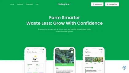
Netagrow is an AI‑driven platform consolidating crop, livestock, and financial data, offering soil and weather analytics, automated yield forecasts, and fertilization and pest‑control recommendations to help farmers schedule tasks, monitor crop health, and manage finances for higher productivity and
Subscription