Agriculture
The best 9 Agriculture AI tools - Free & Paid
Explore 9 AI for Agriculture

SeeTree digitizes large farms with AI, scanning millions of trees via drones, aircraft, and satellites to provide per‑tree metrics, pest‑management, yield forecasting, GIS mapping, and asset tracking, boosting yield, cutting inputs, and improving operations.
Freemium
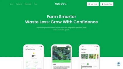
Netagrow is an AI‑driven platform consolidating crop, livestock, and financial data, offering soil and weather analytics, automated yield forecasts, and fertilization and pest‑control recommendations to help farmers schedule tasks, monitor crop health, and manage finances for higher productivity and
Subscription

ClimateLens offers 1 km resolution climate insights for the food, agriculture, and related sectors. It aggregates weather data, selects optimal forecasts via machine learning, provides real‑time alerts, custom dashboards, and an API for seamless enterprise integration.
Freemium

AI-native municipal platform that automates public services and operations for local governments and schools, including intelligent forms, workflow and tax matching, K–12 meal and waste routing, AI case/document processing, legacy integration, and compliance controls.
Free

Picterra delivers GeoAI analytics converting satellite and aerial imagery into near-real-time land monitoring and geospatial insights, detecting land-use change, deforestation, erosion, and compliance risks, linking outputs with ESG and supply-chain data for prioritized interventions and reporting.
Freemium

Cybertiks uses satellite imagery and AI to provide accurate soil nutrient, texture, and mineral data for agricultural fields. Users enter coordinates to view up‑to‑date weekly metrics on dashboards, integrating optical and radar sensor fusion.
Freemium
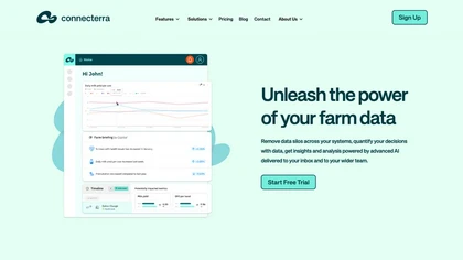
Connecterra consolidates herd, cow, feed, and production data from multiple farm systems into one database, letting farmers and advisors visualize, analyze, and receive AI‑generated summaries, alerts, and decision‑support insights to enhance operations.
Free
- $0.2/mo
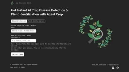
Agent Crop is a mobile app that instantly detects crop diseases and identifies plant species from PNG, JPG, or JPEG images up to 50 MB. It processes data on‑device, discards images after use, and supports farmers and horticulturists with quick diagnostics.
Freemium
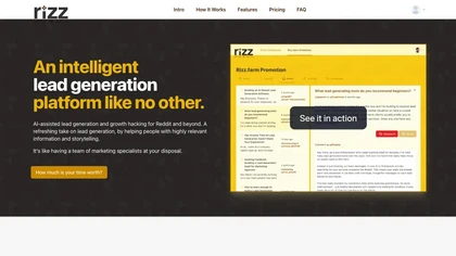
rizz.farm is an AI-driven lead generation platform revolutionizing traditional methods. It engages leads through personalized responses and social media monitoring, boosting conversions by 5x while cutting marketing costs by 90%.
Free trial
- $49/mo