
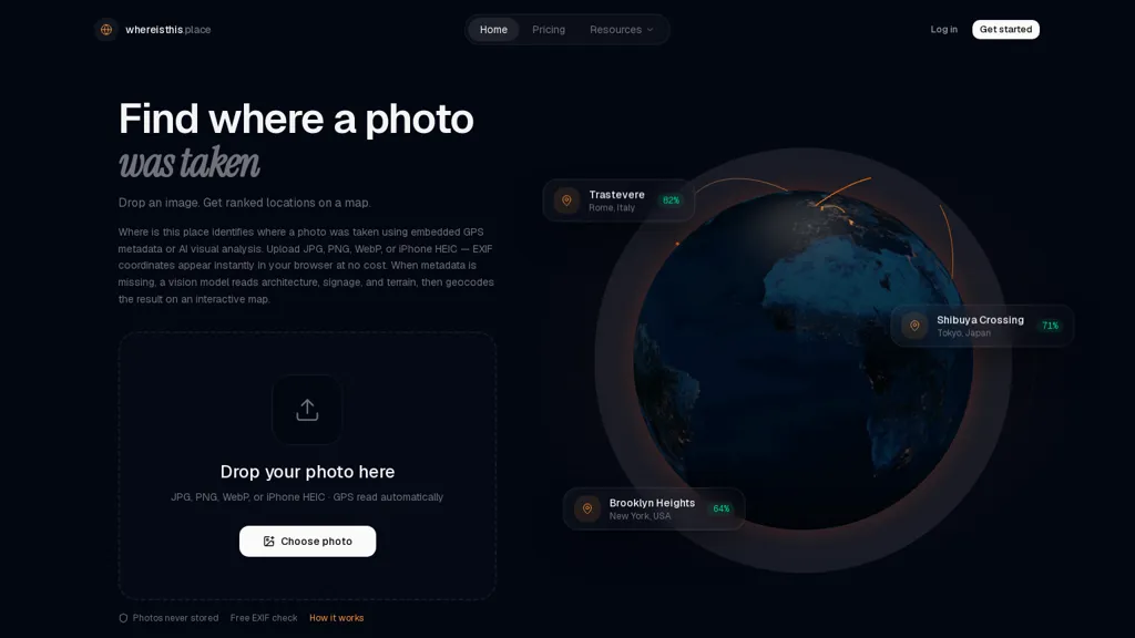
What is whereisthis.place?
whereisthis.place extracts EXIF GPS from JPG, PNG, WEBP and HEIC photos in the browser and applies AI visual analysis when metadata is missing.The tool delivers geocoded coordinates, place names and five ranked location predictions with confidence scores, plus an interactive OpenStreetMap-based map and satellite preview.
Browser-side EXIF reading reveals embedded latitude/longitude instantly without uploading or storing original photos; visual analysis evaluates signage, architecture, road markings, vegetation and other scene cues to infer location.
Outputs are formatted for image provenance checks, investigative verification, journalistic corroboration and recovering photographers’ lost locations.The service supports 190+ countries, provides quick results and an optional API for integration into workflows.
whereisthis.place pricing
FreemiumVerify on the official pricing page.
View planswhereisthis.place's key features
-
Browser-side EXIF GPS extraction from JPG, PNG, WEBP and HEIC without uploading or storing original photos
-
AI visual analysis of images (signage, architecture, road markings, vegetation and other scene cues) when metadata is missing
-
Outputs geocoded coordinates, place names and five ranked location predictions with confidence scores
-
Interactive OpenStreetMap-based map with satellite preview
-
Optional API for integration into workflows
whereisthis.place use cases
-
Verify user-submitted images for newsrooms and fact-checkers using whereisthis.place to read EXIF in-browser or run AI visual geolocation when metadata is missing, returning geocoded coordinates, five ranked location predictions with confidence scores and OpenStreetMap previews for rapid provenance checks
-
Support law enforcement, disaster response, and NGOs by extracting photo GPS in-browser or inferring locations via AI visual analysis to produce exportable coordinates and ranked likelihoods, enabling investigators and field teams to prioritize leads and validate incident locations
-
Automatically organize and geotag photography archives and travel content for creators and agencies by reading embedded EXIF or applying image geolocation inference to fill missing location data, attach OpenStreetMap previews and confidence metrics, and streamline publishing and mapping workflows
whereisthis.place user reviews
Would you recommend whereisthis.place?
Who is whereisthis.place for?
-
Geolocation photographers
-
Investigative journalists
-
Fact-checking teams
-
Human rights investigators
-
Digital curators
whereisthis.place FAQ
Is whereisthis.place free?
Partly. whereisthis.place has a free plan with usage limits, and paid plans unlock the full feature set. Plans include Wallet pay-as-you-go at $15.9 one-time and Pro at $59.9/mo.
What are the best alternatives to whereisthis.place?
The closest alternatives to whereisthis.place are imagedescriber.app, GeoEvident, GeoGuess and AI Describe Picture. You can compare them side by side in the alternatives section further down this page.
Does whereisthis.place have an API?
Yes. whereisthis.place offers an API, so you can call it from your own applications instead of using the interface directly.


How does it work without uploadingstoring the image ?