
Compare Mapwith.ai vs Satlas ⚖️
Mapwith.ai has a rating of 5 based on 0 of ratings and Satlas has a rating of 5 based on 0 of ratings. Compare the similarities and differences between software options with real user reviews focused on features, ease of use, customer service, and value for money.
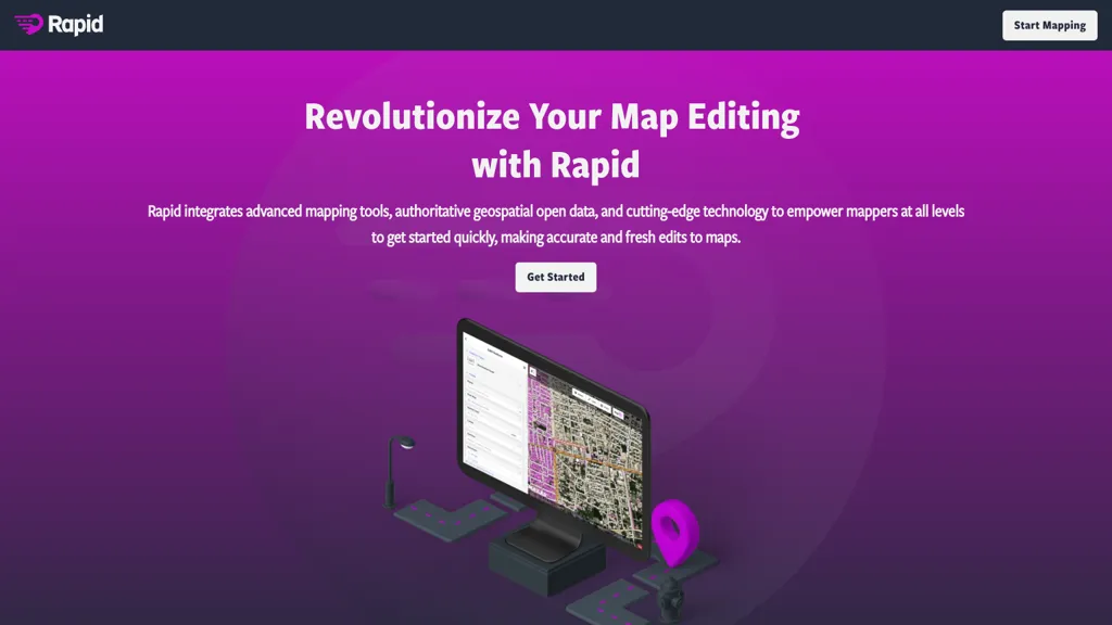
📝 Mapwith.ai Description
Rapid Editor Mastodon revolutionizes map editing with advanced mapping tools and AI capabilities. Automatically drawing map geometry and utilizing open data for precise edits, this tool offers efficient mapping for humanitarian and community projects globally.
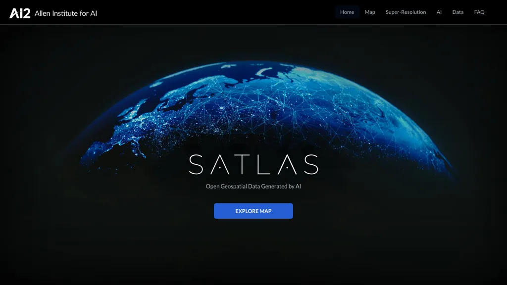
📝 Satlas Description
SATLAS is an AI tool developed by the Allen Institutd that enables users to explore and analyze geospatial data with super-resolution imagery. The tool uses state-of-the-art computer vision algorithms to enhance low resolution satellite imagery, producing high resolution images at a global scale.
Mapwith.ai Key Features
✨ Advanced mapping tools
✨ Geospatial open data integration
✨ Automatic map geometry drawing
✨ AI-analyzed satellite imagery
✨ Intuitive interface
✨ Geospatial open data integration
✨ Automatic map geometry drawing
✨ AI-analyzed satellite imagery
✨ Intuitive interface
Satlas Key Features
✨ Super-resolution
✨ AI Models
✨ Geospatial Data
✨ Offshore Wind Farms
✨ Computer Vision
✨ AI Models
✨ Geospatial Data
✨ Offshore Wind Farms
✨ Computer Vision