What is DrillerDB Geology Estimator?
The Geology Estimator draws from DrillerDB’s platform of public well records, standardized and enriched from state and federal sources to model conditions from shallow unconsolidated aquifers to deeper bedrock targets.
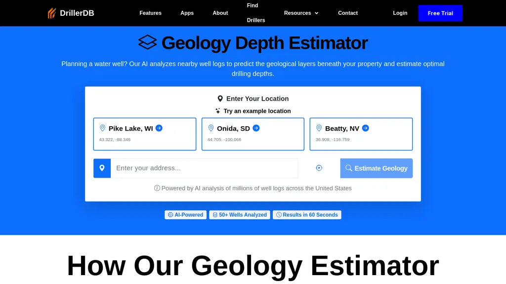
Users can search an address and within seconds see a full geological analysis of their location.If enough data is not available at the location, the system will fall back to a simple depth estimate.This nationwide coverage pairs naturally with DrillerDB’s Interactive Well Map, giving drillers and homeowners a single place to explore well history, context, and predictions.
DrillerDB Geology Estimator user reviews
Based on 4 reviews, 50.0% of users recommend DrillerDB Geology Estimator, rated highly for quality results.
2
recommend
2
don't
4 reviews
Liked for
Quality results
2 of 2
Worth the price
2 of 2
Good integrations
1 of 2
Disliked for
Inconsistent results
2 of 2
Missing features
2 of 2
Hard to use
1 of 2
Lacks integrations
1 of 2
Would you recommend DrillerDB Geology Estimator?
Recommend this tool?
DrillerDB Geology Estimator's key features
-
Geological layer estimation
-
Analysis of nearby well logs
-
Optimal drilling depth prediction
-
Detailed reports with subsurface materials and layer types
-
Results generation within 60 seconds
DrillerDB Geology Estimator use cases
-
Quickly assess the geological composition of a potential drilling site using Geology Depth Estimator, saving time and reducing risks associated with unexpected subsurface conditions
-
Obtain detailed geological reports for real estate development projects, allowing developers to make informed decisions based on subsurface material predictions and optimal drilling depths
-
Facilitate educational research in geology by using Geology Depth Estimator to analyze well logs and visualize subsurface layers, aiding in the understanding of local geology and resources
Who is it for?
-
Geological surveyors
-
Construction managers
-
Data analysts
-
Drilling engineers
-
Environmental scientists